BLAIR CREEK SECTION
Blair Creek was one of the first new trail sections of the Ozark Trail. It passes through the Roger Pryor Backcountry on its way to the Current River at Owls Bend.
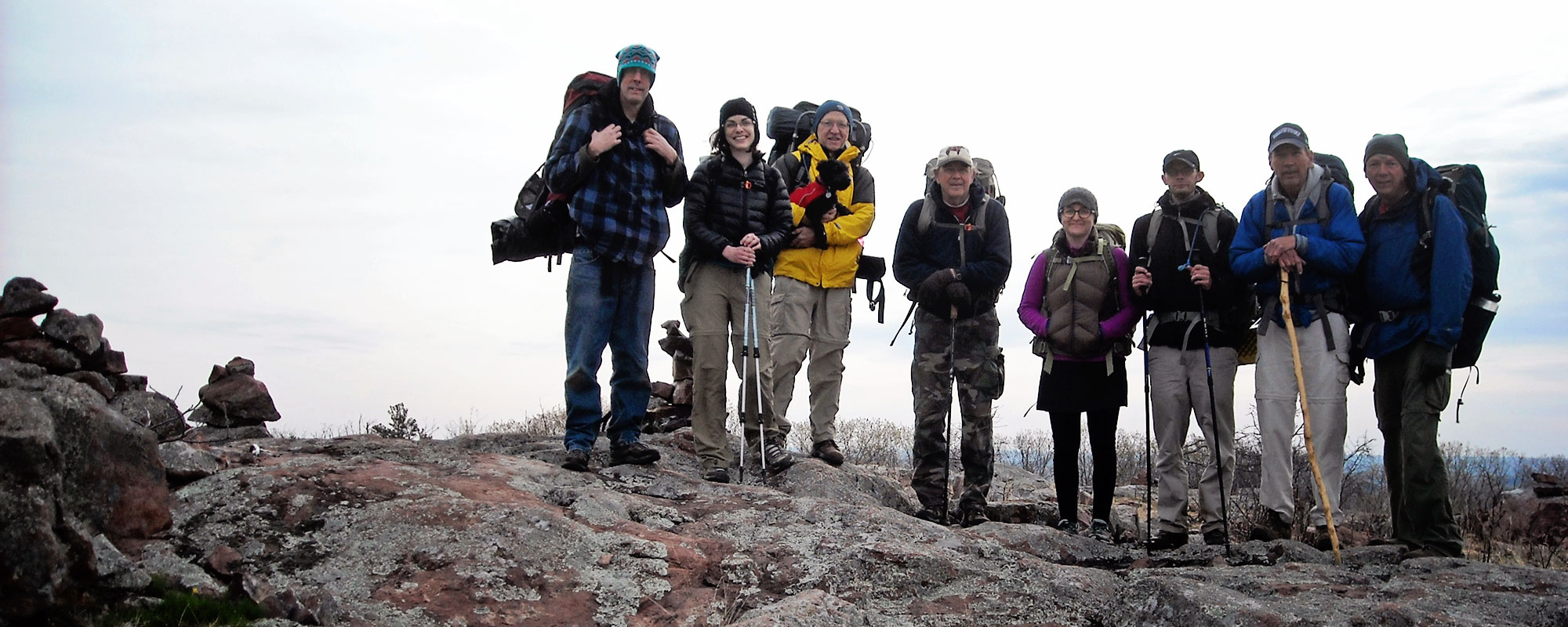
Hiking
Camping
Trail Conditions
Expect some seasonal growth in low lands and near the creeks, but otherwise in good shape. Make sure to double check your map along roads and road crossings, as sometimes the Ozark Trail markers disappear without notice. Red Trail markers and paint on trees do not designate the Ozark Trail. There is a new equestrian trail that runs concurrent with the Ozark Trail on some of the gravel road stretches near Blair Creek that uses red blazes.
Campgrounds
Powder Mill at Owls Bend. Primitive camping is allowed in the Mark Twain forest (100′ from trail)

27
Miles of Trail
MODERATE
Difficulty
1900′
N to S ascent
2600′
S to N ascent

Trail Geography
The northern six miles of trail follow a major ridge line that divides Big Creek and Blair Creek. It then leaves the ridge and enters the watershed of Blair Creek. The trail follows Blair Creek southward as the creek carves a long, deepening valley in its descent to the Current River. Old home sites, springs, and reverting fields clad with wildflowers dot Blair Creek Valley. The trail slowly makes its way to the bluffs high above the Current River and to the most outstanding views of the river along the entire trail.
Maps
Land Managers
US Forest Service
Mark Twain National Forest
Potosi/Fredericktown Ranger
District
10019 West State Highway 8
Potosi MO 63664
573-438-5427
Office Hours
Mon.-Fri. 8:00 a.m. – 4:30 p.m.
MO Dept of Conservation
Wildlife Division
PO Box 180
Jefferson City MO 65102
573-751-4115
National Park Service
404 Watercress Rd
Van Buren MO 63965
573-323-4326
Office Hours
Mon-Fri 8:00 a.m. – 4:30 p.m.
L-A-D Foundation /
Pioneer Forest
319 North 4th St., Ste. 805
St. Louis MO 63102
314-621-0230
Emergency Numbers
Shannon County
Ambulance Service
Missouri 19
Winona MO 65588
573-325-4644
Reynolds County
Memorial Hospital
Highway 21
Ellington MO 63638
573-663-2511
Eminence Fire Department
Factory St
Eminence MO 65466
573-226-3800
Shannon County Sheriff
2nd St
Eminence MO 65466
573-226-3615
IN CASE OF EMERGENCY DIAL 911
Cellular service is not available in all areas of the trail. Seek higher ground or a clear area for best signal strength.
