NORTH FORK SECTION
The North Fork section is ready to go. Frequent maintenance and dedicated volunteers keep this section in great shape.
Hiking
Camping
Biking
Riding
Trail Conditions
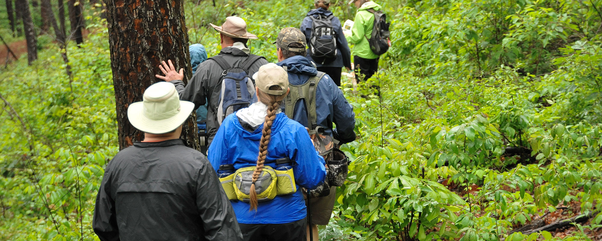
Overall, the North Fork section is clear and in good shape. Some areas have been recently leaf blown and there is minimal scattered dead fall here and there. Trail is well marked with the exception of Devil’s Backbone Wilderness Area. Wilderness Areas do not have markers so be sure to have good maps and compass or GPS. Children’s Forest at Blue Hole Trail Head recently received new interpretative signs and new bench. A picnic table also located at the trail head. The View from Lover’s Leap is great any time of year. Expect seasonal growth.
Campgrounds
Primitive camping is allowed in the Mark Twain forest (100′ from trail)

27
Miles of Trail
MODERATE
Difficulty
1750′
E to W ascent
1950′
W to E ascent

Trail Geography
This section was created by co-opting portions of the Ridge Runner trail and trails in the Devil’s Backbone Wilderness area, plus adding 12 miles to the east from near Blue Springs to Pomona. The 27 miles from the Pomona trailhead through the Devils Backbone Wilderness has been recently reworked, cleared and signed, and is in great shape.
Maps
Land Managers
US Forest Service
Mark Twain National Forest
Ava Ranger District
417-683-4428
Office Hours
Mon-Fri 8:00 a.m. – 4:30 p.m.
Emergency Numbers
Air Evac Lifeteam
306 Davis Dr
West Plains MO 65775
417-256-0010
Ozarks Medical Center
1627 Gibson St
West Plains MO 65775
417-256-9111
Howell County
Rural Fire District
1949 E State Route K
West Plains MO 65775
417-257-1270
Ozark County Sheriff
MM Highway
Gainesville MO 65655
417-679-4633
IN CASE OF EMERGENCY DIAL 911
Cellular service is not available in all areas of the trail. Seek higher ground or a clear area for best signal strength.
