CURRENT RIVER SECTION
Although this section begins at the Current River, it quickly turns off toward Stegall Mountain. Some believe it is the most scenic trail in Missouri.
Trail Conditions
Expect season closures in the fenced area around deer season and elk calving season. This means that trail users will not be able to access the trail in fenced area. You can still access the The Peck Ranch Trailhead, down the service road to the Ozark Trail going north. To the south, an alternative by-pass is now available using road P-159 south for 4.6 mi and then a 3 mi ushwack along the south fence.
Campgrounds
No camping in Peck Ranch. Primitive camping is allowed in the Mark Twain forest (100′ from trail)
30
Miles of Trail
MODERATE
Difficulty
2460′
N to S ascent
2470′
S to N ascent
Trail Geography
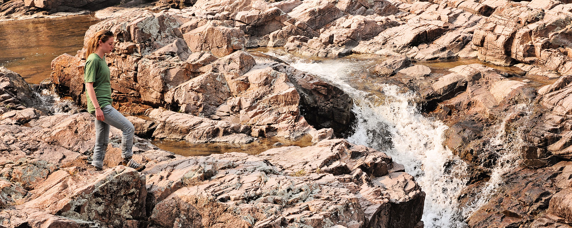
The trail begins by crossing to the west bank of the Current River on the Highway 106 bridge. It then heads south, generally paralleling the river for approximately two miles. From that point it proceeds up Indian Creek, crosses a saddle on the south end of Barnett Mountain, and descends to Rocky Creek. The trail passes a beautiful shut-ins area between Buzzard Mountain and Mill Mountain before heading for Stegall Mountain. Glades atop Stegall Mountain allow expansive and unrestricted views of the Ozark landscape. From Stegall Mountain the trail heads southeast through Peck Ranch Wildlife Area toward Highway 60.
Maps
Land Managers
US Forest Service
Mark Twain National Forest
Eleven Point Ranger District
#4 Confederate Ridge Road
Doniphan, MO 63935
573-996-2153
Office Hours
Mon-Fri 8:00 a.m. – 4:30 p.m.
MO Dept of Conservation
Peck Ranch Conservation Field
Office
Route 1 Box 1395
Winona, MO 63941
573-323-4249
National Park Service
404 Watercress Rd
Van Buren, MO 63965
573-323-4326
Office Hours
Mon-Fri 8:00 a.m. – 4:30 p.m.

