
Courtois Hike-and-Float
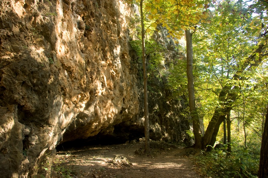
Bluffs along Courtois Creek
Distance:
12.6 miles
Trip Type:
Point to Point
Reversible:
Yes
Rating:
5.0 
Permitted uses:
- Hiking
Summary
A 12 1/2 mile hike on the upper Courtois section through the rolling hardwood forests of Huzzah CA and MTNF, a peaceful night camping, and a nice float back to your car. What more could you ask for!
Description
Mile 0 to 4: A pleasant walk through hardwood forests and a few pine groves; some of the trail is on gravel roads, and the trail passes several wildlife food plots. You can even visit the ruins of the old Scotia Ironworks smelter, built in 1870.
Mile 4 to 7: A wonderful walk along the Courtois Creek, beneath limestone bluffs and past a few caves to the sourthern boundary of Huzzah CA. The creek crossing at mile 5.2 is normally 1-2 feet deep and subject to flooding.
Mile 7.6 to 12.4: A very nice section of trail with bluff overlooks, big mossy rocks, seasonal waterfalls and beautiful forests. Your hike will end at Bass River Resort where you can camp along Courtois Creek, or spend the night in one of their many cabins.
But wait, you are not finished yet! On Day 2, you can enjoy a peaceful canoe float back to your car on the crystal clear Courtois Creek, Huzzah, and Meramec Rivers.
Mile 4 to 7: A wonderful walk along the Courtois Creek, beneath limestone bluffs and past a few caves to the sourthern boundary of Huzzah CA. The creek crossing at mile 5.2 is normally 1-2 feet deep and subject to flooding.
Mile 7.6 to 12.4: A very nice section of trail with bluff overlooks, big mossy rocks, seasonal waterfalls and beautiful forests. Your hike will end at Bass River Resort where you can camp along Courtois Creek, or spend the night in one of their many cabins.
But wait, you are not finished yet! On Day 2, you can enjoy a peaceful canoe float back to your car on the crystal clear Courtois Creek, Huzzah, and Meramec Rivers.