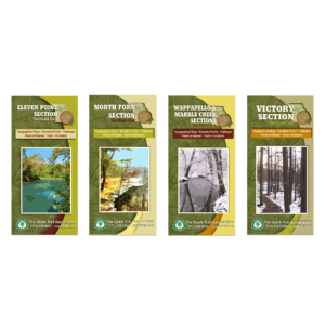
Description
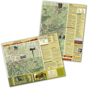
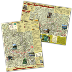
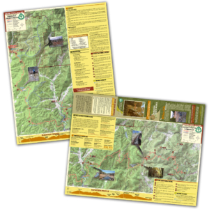
A good trail and a good map go hand-in-hand, and we’ve mapped out each section of the Ozark Trail for you! Our topographical section maps include elevation profiles, trailheads, points of interest, traveler information and more. These high-quality maps are printed on waterproof and tear-resistant paper.
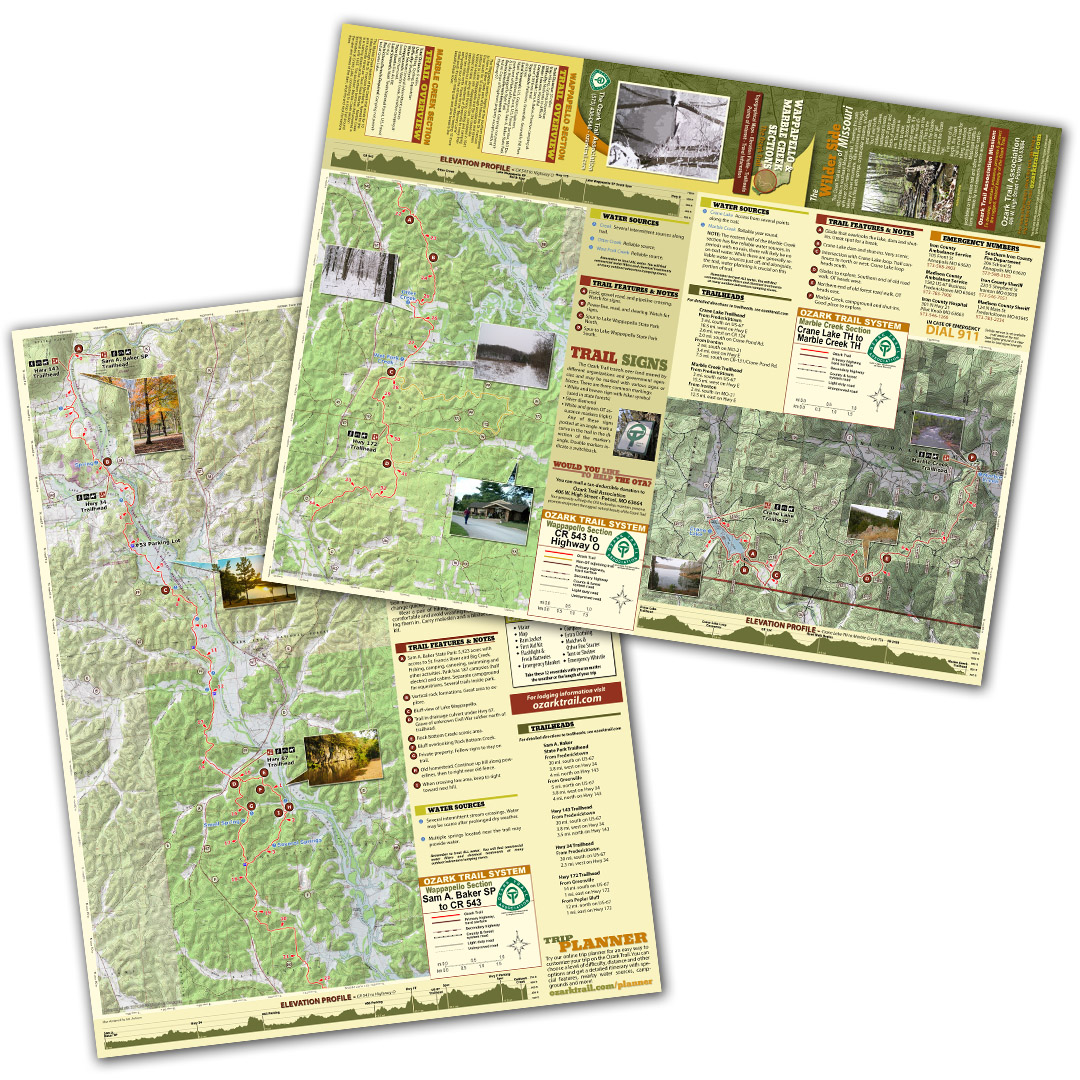
The Wappapello section begins at the southern entrance to Sam A. Baker State park and follows the St. Francois River south for 15 miles through woodlands and stream bottoms to Lake Wappapello and the Old Greenville National Historic site. Wappapello Dam, completed in 1941 created the lake, along with fishing, boating and camping opportunities but led residents of Greenville to move their town two miles north. Pause for the “Memory Lane” self-guided tour of the old townsite before heading 15 more miles south through rolling oak and pine forest to the beautiful Black River.
The Marble Creek section of the Ozark trail winds for 10 miles through the St. Francois Mountains. Named for the pink dolomite mined as “Taum Sauk Marble,” Marble Creek is a rushing stream at the northern terminus that powered a gristmill until 1935. The southern Marble Creek section terminates at Crane Lake, connecting to a loop trail around the lake and views of the dam, shut-ins and rock formations there.