TRACE CREEK SECTION
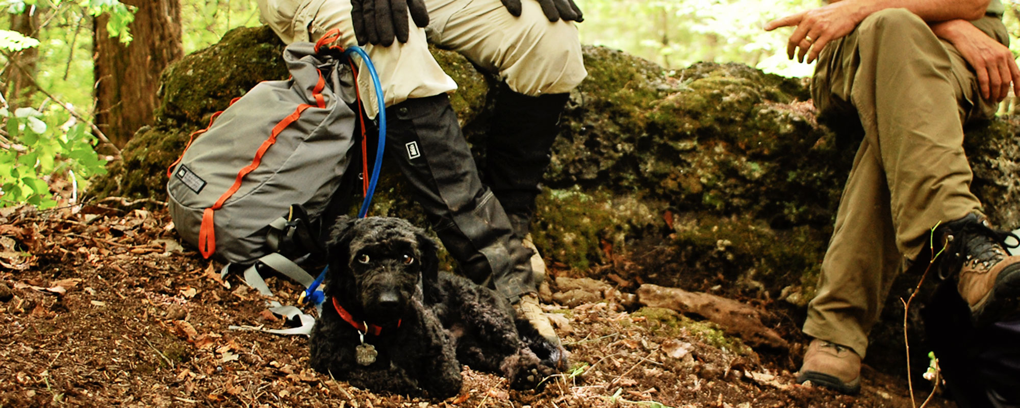
Sometimes simple things are the best! While this section may not feature stunning vistas, waterfalls, fens or glades, it’s still a pleasant walk in the woods, and simply delightful after a spring rain.
Hiking
Camping
Biking
Riding
Trail Conditions
The northern Trace Creek section of trail (north of 32) is in very good shape for a hike/ride. You can extend your hike or bike ride by connecting into the Council Bluff Loop at Telleck Branch. There is a tree down here and there south Hwy C, but mostly clear. Council Bluff Lake loop is all clear and it is in almost perfect condition. Watch for a few trees down south of the Middle Fork connector before Hwy 32.
Campgrounds
Hazel Creek. Primitive camping is allowed in the Mark Twain forest (100′ from trail)

26
Miles of Trail
MODERATE
Difficulty
1027′
N to S ascent
1081′
S to N ascent

Trail Geography
This section is located in Washington and Iron counties and lies southwest of Potosi. The northern 18 miles of trail was constructed in 1968, with the last six miles added in 1983. To the north it connects with the Courtois section, to the south the Taum Sauk section, and in between is the Middle Fork-John Roth Memorial section. The Trace Creek section is open to foot, bike and equestrian traffic. A spur trail can be found near the section’s midpoint that leads to the 12-mile Council Bluff loop trail.
Maps
Land Managers
US Forest Service
Mark Twain National Forest
Potosi/Fredericktown Ranger
District
10019 West State Highway 8
Potosi MO 63664
573-438-5427
Office Hours
Mon-Fri 8:00 a.m. – 4:30 p.m.
Emergency Numbers
Washington County
Ambulance Service
111 S Water St
Potosi MO 63664
573-438-3635
Potosi Fire Department
313 E Jefferson St
Potosi MO 63664
573-438-5465
Washington County
Memorial Hospital
300 Health Way
Potosi MO 63664
573-438-5451
Washington County Sheriff
116 W High St
Potosi MO 63664
573-438-5478
Iron County Hospital
301 N Hwy 21
Pilot Knob MO 63663
573-546-1260
Iron County Sheriff
220 S Shepherd St
Ironton MO 63650
573-546-7051
IN CASE OF EMERGENCY DIAL 911
Cellular service is not available in all areas of the trail. Seek higher ground or a clear area for best signal strength.
