MARBLE CREEK SECTION
The 10-mile Marble Creek trail section is a pleasant day hike and an excellent mountain bike trip. This section will eventually connect to the Taum Sauk section via Ketcherside Mountain.
Hiking
Camping
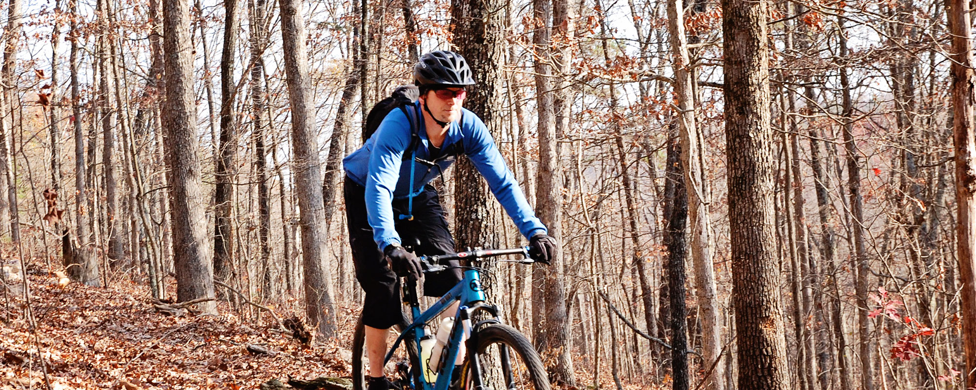
Biking
Riding
Trail Conditions
Make sure you have a good map and compass or GPS if you are planning a through-hike on this section. It is generally clear near Marble Creek Campground and around the Crane Lake loop, but has a lot of seasonal growth and some downed trees otherwise. There are still some large root balls from previous storms, so be careful and keep a look out for them. Portions that were subject to logging may be difficult to follow at times. If you are unfamiliar with the trail, you should bring a topographic map and compass or GPS.
Campgrounds
Marble Creek. Primitive camping is allowed in the Mark Twain forest (100′ from trail)

9
Miles of Trail
MODERATE
Difficulty
900′
E to W ascent
700′
W to E ascent

Trail Geography
The Marble Creek trail is the little orphan of the Ozark Trail, laying half-way between the Taum Sauk and Wappapello sections, waiting to be connected. Private land blocks the path in both directions, so until easements or purchases are negotiated, the final route between the two is uncertain. While the trail is point-to-point from Marble Creek Campground to the Crane Lake trailhead, it features a loop around Crane Lake. The southern-half of the loop is considered more scenic, as it passes by the shut-ins below the dam and features great rock formations.
Maps
Land Managers
US Forest Service
Mark Twain National Forest
Potosi/Fredericktown Ranger
District
10019 West State Highway 8
Potosi, MO 63664
573-438-5427
Office Hours
Mon-Fri 8:00 a.m. – 4:30 p.m.
