Description
Thru-hiking is defined as hiking the contiguous 230-mile backbone of the Ozark Trail in one trip. A thru-hike can begin at Onondaga State Park and proceed southward to the Eleven Point Western trailhead, or move in the opposite direction from south to north. The Ozark Trail Association’s Trip Planner provides good information on a thru-hike, but don’t forget to bring your maps along!
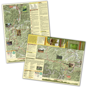
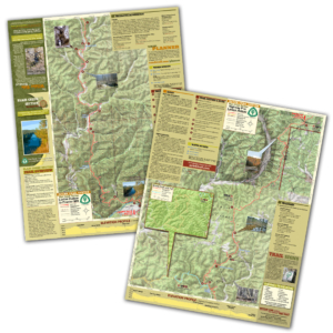
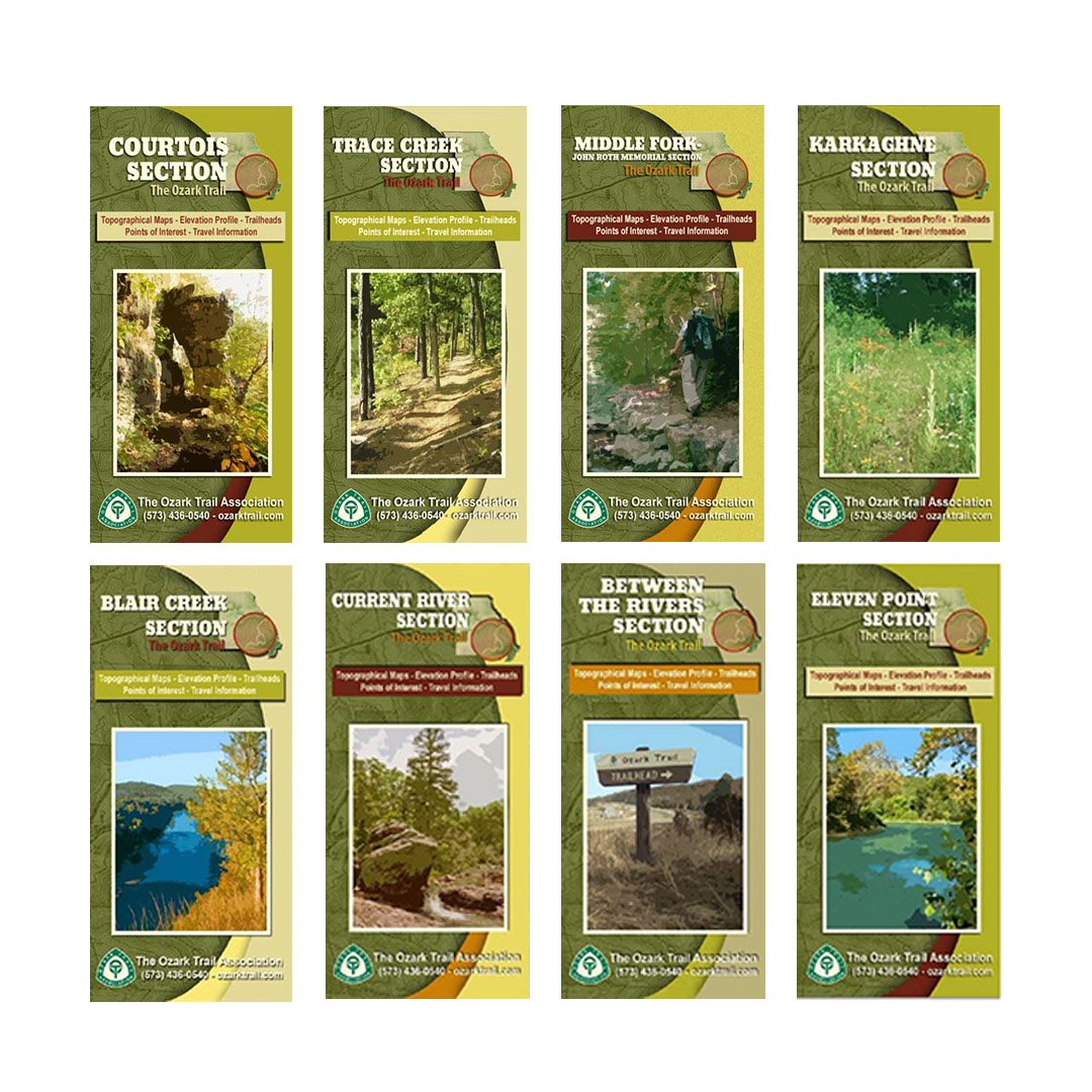
A good trail and a good map go hand-in-hand, and we’ve mapped out each section of the Ozark Trail for you! Our topographical section maps include elevation profiles, trailheads, points of interest, traveler information and more. These high-quality maps are printed on waterproof and tear-resistant paper. Our thru-hiking map set includes Courtois, Trace Creek, Middle Fork, Karkaghne, Blair Creek, Current River, Between the Rivers, and Eleven Point section maps.