WAPPAPELLO SECTION
This section runs from Sam A. Baker State Park to Lake Wappapello before ending near Hendrickson. It will eventually connect to the Victory section.
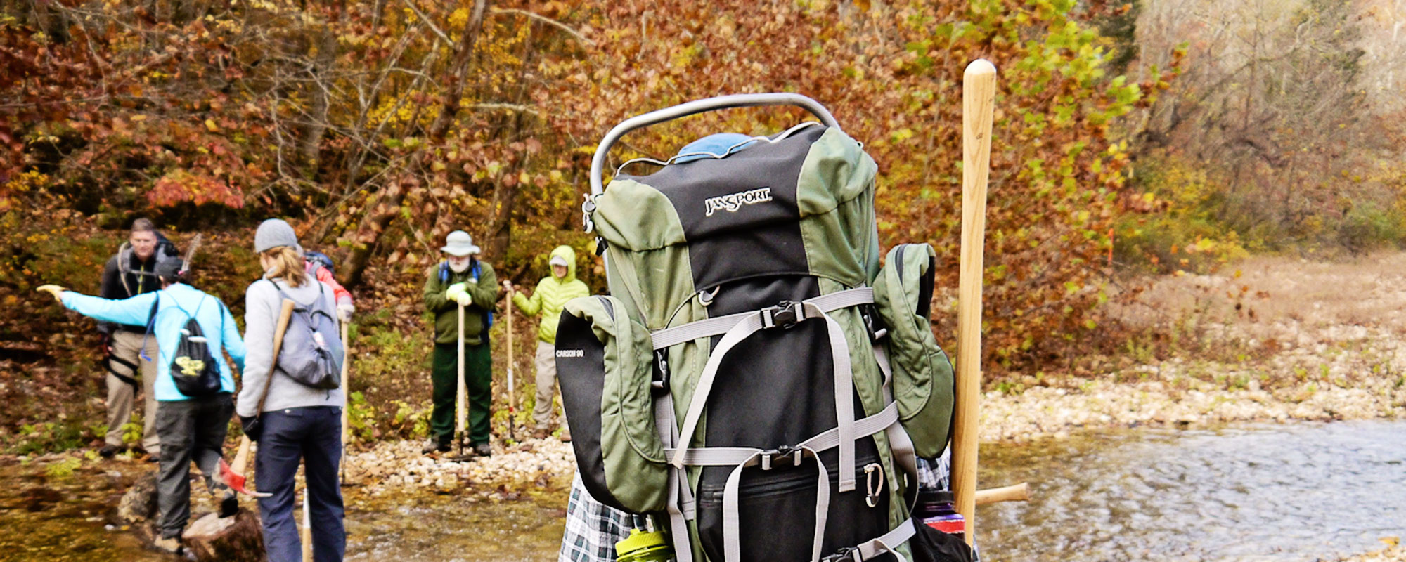
Camping
Biking
Riding
Trail Conditions
Campgrounds
Sam A. Baker State Park. Not permitted on Corps of Engineers property except north of Highway 67 (a primitive area).

35
Miles of Trail
VARIED
Difficulty
2150′
N to S ascent
2100′
S to N ascent

Trail Geography
The Lake Wappapello section of the Ozark Trail begins at the southern entrance to Sam A. Baker State Park, and follows the St. Francis River south for 15 miles through woodlands and field bottoms until it reaches Lake Wappapello at Old Greenville National Historical Site. It then continues south another 15 miles through rolling oak and pine forest hill country and ends at the Black River 8 miles north of Poplar Bluff. Water is available at creeks along most of the trail.
Additional miles can be incorporated to this section by connecting the scenic 12-mile Mudlick trail at Sam A. Baker or connecting to the 15-mile Wappapello Trail via a 5-mile spur trail near Highway 172.
Maps
Land Managers
US Forest Service
Mark Twain National Forest
Eleven Point Ranger District
#4 Confederate Ridge Road
Doniphan MO 63935
573-996-2153
Office Hours
Mon-Fri 8:00 a.m. – 4:30 p.m.
US Army Corps of Engineers
Wappapello Lake Office
10992 Hwy T
Wappapello MO 63966
573-222-8562
MO Department of Natural
Resources
Sam A. Baker State Park
RFD 1 Box 114
Patterson MO 63956
573-856-4411
MO Department of Natural
Resources
Lake Wappapello State Park
HC Route 2 Box 102
Williamsville MO 63967
573-297-3232
Emergency Numbers
Iron County
Ambulance Service
105 Front St
Annapolis MO 63620
573-598-3903
Iron County Hospital
301 N Highway 21
Pilot Knob MO 63663
573-546-1260
Southern Iron County
Fire Department
206 School St
Annapolis MO 63620
573-598-3105
Iron County Sheriff
220 S Shepherd St
Ironton MO 63650
573-546-7051
Madison County
Ambulance Service
1562 US 67 Business
Fredericktown MO 63645
573-783-7900
Madison County Sheriff
124 N Main St
Fredericktown MO 63645
573-783-2234
IN CASE OF EMERGENCY DIAL 911
Cellular service is not available in all areas of the trail. Seek higher ground or a clear area for best signal strength.
